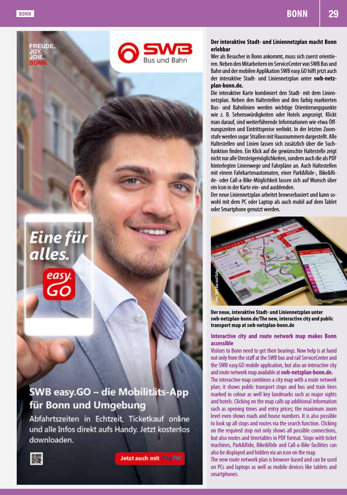
29BONN BONN Der interaktive Stadt und Liniennetzplan macht Bonn erlebbar Wer als Besucher in Bonn ankommt muss sich zuerst orientie ren Neben den Mitarbeitern im ServiceCenter von SWB Bus und Bahn und der mobilen Applikation SWB easy GO hilft jetzt auch der interaktive Stadt und Liniennetzplan unter swb netz plan bonn de Die interaktive Karte kombiniert den Stadt mit dem Linien netzplan Neben den Haltestellen und den farbig markierten Bus und Bahnlinien werden wichtige Orientierungspunkte wie z B Sehenswürdigkeiten oder Hotels angezeigt Klickt man darauf sind weiterführende Informationen wie etwa Öff nungszeiten und Eintrittspreise verlinkt In der letzten Zoom stufe werden sogar Straßen mit Hausnummern dargestellt Alle Haltestellen und Linien lassen sich zusätzlich über die Such funktion finden Ein Klick auf die gewünschte Haltestelle zeigt nicht nur alle Umsteigemöglichkeiten sondern auch die als PDF hinterlegten Linienwege und Fahrpläne an Auch Haltestellen mit einem Fahrkartenautomaten einer Park Ride Bike Ri de oder Call a Bike Möglichkeit lassen sich auf Wunsch über ein Icon in der Karte ein und ausblenden Der neue Liniennetzplan arbeitet browserbasiert und kann so wohl mit dem PC oder Laptop als auch mobil auf dem Tablet oder Smartphone genutzt werden Der neue interaktive Stadt und Liniennetzplan unter swb netzplan bonn de The new interactive city and public transport map at swb netzplan bonn de Fo to S W B B us un d B ah n Interactive city and route network map makes Bonn accessible Visitors to Bonn need to get their bearings Now help is at hand not only from the staff at the SWB bus and rail ServiceCenter and the SWB easy GO mobile application but also an interactive city and route network map available at swb netzplan bonn de The interactive map combines a city map with a route network plan it shows public transport stops and bus and train lines marked in colour as well key landmarks such as major sights and hotels Clicking on the map calls up additional information such as opening times and entry prices the maximum zoom level even shows roads and house numbers It is also possible to look up all stops and routes via the search function Clicking on the required stop not only shows all possible connections but also routes and timetables in PDF format Stops with ticket machines Park Ride Bike Ride and Call a Bike facilities can also be displayed and hidden via an icon on the map The new route network plan is browser based and can be used on PCs and laptops as well as mobile devices like tablets and smartphones

Hinweis: Dies ist eine maschinenlesbare No-Flash Ansicht.
Klicken Sie hier um zur Online-Version zu gelangen.
Klicken Sie hier um zur Online-Version zu gelangen.